British Isles Maps
SKU:
TME017-UKS
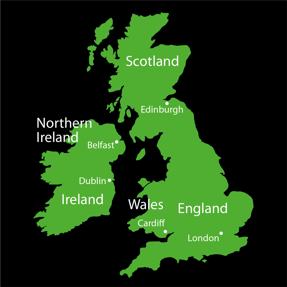
Our British Isles Map is a great marking for the playground. A fun way to teach the children crucial geography elements such as major Cities, Counties and Countries.
Dimensions - 4000 × 3500 mm
£44400
Unit price
/
Unavailable
British Isles Maps - Small (2000 × 1750 mm) is backordered and will ship as soon as it is back in stock.
Description
Description
Our British Isles Map is a great marking for the playground. A fun way to teach the children crucial geography elements such as major Cities, Counties and Countries.
Dimensions - 4000 × 3500 mm


